
I have been working in the mapping and navigation business for more than three decades. I have seen companies disappearing as quickly as they came, and business that have survived since the beginning of digital maps.
However, the mapping business needs to run through a tough transformation process like e.g. the automotive industry.
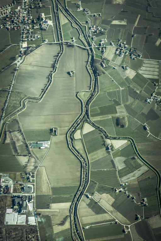
The nature of digital maps has changed over the past years, and will even dramatically change over the coming years. The traditional map creation process is an expensive, laborious, time-consuming and last but not least, a slow-paced business domain that involves expensive equipment and high-skilled experts in geographic information systems.
The Dilemma of the mapping business
The traditional map creation process is overstressed with growing geographic coverages, steadily increasing number map features and their highly dynamic attributes. The underlying semi-automated or even manual production processes can’t cope with the amount and frequency of incoming data sources. It’s like in an old manufactory – productivity is mainly limited by the number of workers.
In my opinion, it is time to stop billions of investment in these outdated mapping technologies that produce large static databases, which are already outdated after release.
Ways out of this dilemma
Today, we have the essential hardware and software technologies in place in order to replace most of the traditional semi-automated map creation methods. Powerful cloud computing resources running machine learning and geospatial conflation algorithms can help producing vector maps from different source, tailored for navigation systems, advanced driver assistance systems, or automated driving use cases. Aerial images captured from drones, sensor data surveilled by large vehicle fleets and a steadily growing community of volunteering mappers are able to substitute large portions of geospatial data the big mapping companies own today.
This said, we have to ask ourselves the question “Who should own this dataset”, or more provocatively, “Why should anyone own THE map of the world”. Since digital maps are so critical to many industries, why shouldn’t we copy the well-known success stories of the open source software domain? Just think of Linux, Android, Apache, WordPress, Hadoop, Kubernetes, Docker, Wikipedia, OpenStreetMap, and many other not mentioned. There are many viable and proficient business cases even though that you give away source code or raw data for free.
Closed versus Open Data

Many people love Google Maps, and the Services built around this valuable top asset. Yes, I call it a Service, not a data source. Google Maps is a truly closed system because Google does not disclose or even license their underlying map data, unlike companies like HERE or TomTom.
For a second this does not feel critical at all, right? However, by hiding the actual data you can’t tell for sure whether you see a “true” map or not. Imagine there was a restaurant not visible (or searchable) in Google Maps. One could think that this particular restaurant does not exist, right? But what if Google makes this decision for you, e.g. in favor of a paying advertising customer, for political reasons, due to legal regulations, or just because of simple commercial interest? You think this is too much “1984”? Not at all. Look at the People’s Republic of China where today we have a strictly censored and regulated street map.
Different Business Models
Open data (like HERE or TomTom provide) means that you can have a look at the fundamental data set – it doesn’t necessarily mean the data is freely available, like OpenStreetMap is. These companies make their money by licensing their datasets. OpenStreetMap has millions of active contributors (mappers) who incrementally improve and enrich the OSM map. Well, Google does the same thing with an interesting detail: they don’t share their the data users contribute. Any crowd-contributed ratings, open hours, map attributes, pictures, movement patterns, and many other data sets become part of Google’s closed data universe. Surprisingly, people do this on a voluntary basis, not caring about privacy data protection at all. In contrast to HERE or Tomtom Google Maps makes money with their services, not by selling the actual data (they get from you for free).
Being a mapper
Well, I have been actively following the OpenStreetMap project from its beginning in 2005 since I was curious whether the idea of a crowd-based mapping initiative can work. I am part of this mapping community as well. Many years ago, I spend weeks in digitizing the entire city I live in by mapping roads, lanes, streets, buildings, house numbers, point of interests and many other features. In my company, we contributed buildings and house numbers for the entire city of Vancouver, Canada. This all said I truly believe in community-based map production.
I strongly believe that OpenStreetMap is (or soon will be) a major rival to Google Maps, at least when it comes to data sourcing.
Corporate Contributions
Large companies like Amazon Logistics, Apple, Facebook, Grab, Microsoft, Uber, Tesla and many other invest in OpenStreetMap by corporate contribution. Over the past few years, these companies edited nearly a fifth of the road network.
In order to use OpenStreetMap database as an alternative source for professional navigation services both the quality and coverage of routing attributes (e.g. turn restrictions, lane information, road topology) need to be improved significantly. Quite wealthy companies like Grab, Tesla and Uber committed many million commits of this kind over the past 2 years. In addition, addresses and house numbers were committed in large amounts as well. Tesla captured and contributed information in context of parking isles, lots and spaces. In terms of usability, these edits help both the mentioned companies, as well as the OSM community.
We find these extremely successful and wealthy companies collaborating and contributing to OpenStreetMap on a very high scale. They wouldn’t do so if there no interesting business case in it. But the best thing ist that OpenStreetMap would survive and continue being successful without any of the companies mentioned.
Fleet-based Mapping
Imagine the contribution power of smart vehicle fleets equipped with embedded physical sensors capturing road infrastructure and processing photo imagery. Usually cars follow traffic rules and road topology – adding these attributes to OSM would be a piece of cake. In combination with artificial intelligence and machine learning algorithms, even small sized fleets can digest raw sensor data to enrich and conflate maps in the backend.
Looking at the consumer devices industry: Apple recently has added LiDAR to its new line of iPhones and iPods allowing users to scan the world in high fidelity. So soon we will have smartphones in our hands able to capture our 3D enviornment and help creating maps for (hopefully) everybody.